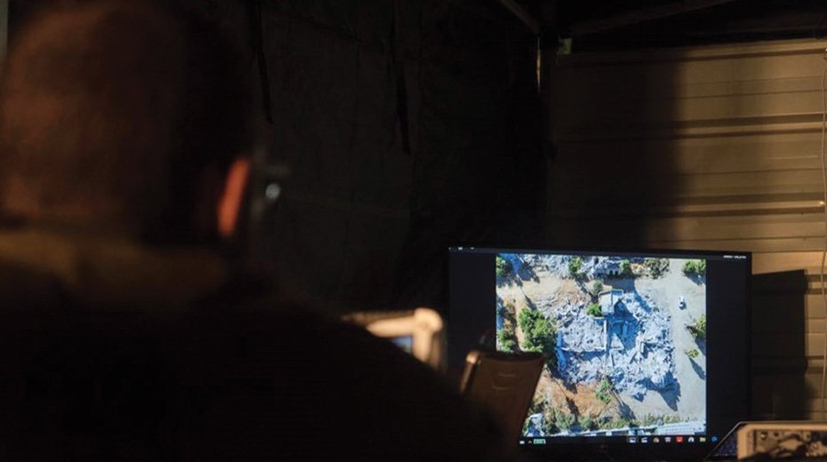
They provide soldiers dealing with scenes of disaster a better overview of the situation, and can even help locate those trapped or buried under rubble. A newly-developed drone is capable of using high-resolution images of a disaster zone to create three-dimensional maps to aid rescuers. The drone can also display the structure of a building before it collapsed, enabling soldiers to better understand where and how victims may be buried. These images are...
Become a Member
-
Read all member content
Get exclusive in-depth reports from Israel.
-
Get exclusive in-depth reports from Israel
Connect with Israel, right from your home.
-
Lift up the voice of truth and hope
Support Jerusalem-based Zionist journalism.

Already a member? Login here.


